Severe weather, possible tornadoes expected on Sunday
April 18, 2020
The National Weather Service is forecasting two rounds of potential severe weather for Tuscaloosa County on Sunday, April 19.
The first round of severe weather is forecast for the early morning hours from about 4 a.m. to 11 a.m. and could include damaging winds and large hail.
The second round of severe weather is forecast for the afternoon and evening hours from about 2 p.m. to 8 p.m. and could include tornadoes, damaging winds and large hail.
Additionally, heavy rains are forecast for the area. A flash flood watch will be in effect for Tuscaloosa from 7 a.m. on Sunday until 1 a.m. on Monday.
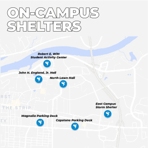
Shelters will be open, even in light of coronavirus closures. A UA News release encouraged students to be mindful of social distancing mandates, but to prioritize tornado safety.
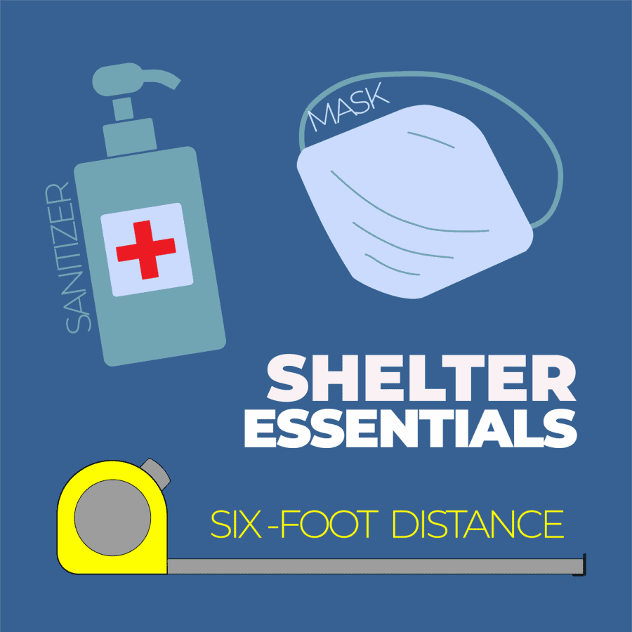
“Wherever you choose to shelter from severe weather, you should use as many precautions as possible to inhibit the spread of COVID-19 as best as you can,” the release stated. “You are encouraged to wear a mask or other face covering while in a shelter, and to bring hand sanitizer with you. Try to practice social distancing by staying at least 6 feet away from others when possible.”
Students should also have a way of receiving instant weather news. Here’s what resources are available through the University:

- If a tornado watch or warning is issued for the campus, a UA Alert will be sent.Another way to ensure you receive important weather information is through the UA Safety App. The app displays all weather alerts for Tuscaloosa County including a map showing the affected areas.
- Download the UA Safety App for free for iOS and Android devices and turn on notifications for severe weather. You can also receive severe weather information by listening to 92.5 FM UA Info Radio, and by following @UA_Safety on Twitter.
The City of Tuscaloosa also offers a countywide weather alert service called TuscAlert. You can sign up here to get notifications on severe weather, road closures, missing persons and evacuation notices.
TORNADO SAFETY TIPS
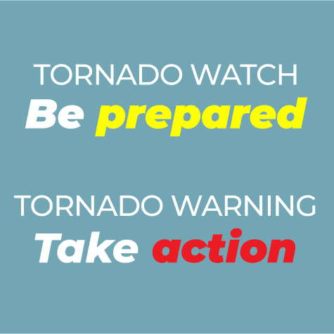
In the case of possible tornadoes, be on the lookout for watches and warnings. According to the National Weather Service, a tornado watch signals that tornadoes are possible in and near the watch area. In other words, be prepared for possible tornadoes.
If a tornado warning is issued, this means that a tornado has been sighted or indicated by weather radar, and those in the area should take immediate action.
Here’s what the University suggests students, faculty and staff should do in case of a tornado watch or warning:
- When a tornado watch is issued for Tuscaloosa County, campus storm shelters and Best Available Refuge Areas (BARA) will be available for all students, faculty and staff until the watch expires. The Magnolia Deck BARA can accept pets with their owners.
- If a tornado warning is issued, you should avoid traveling and seek shelter immediately. If you are not able to make it to a storm shelter, seek shelter in the closest BARA location. BARA locations are posted on each Building Emergency Plan located near the entry/exit locations of each campus building and in the UA Safety App.
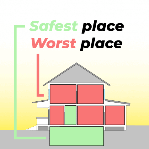
- If you are not on campus when a tornado warning is issued, you should seek shelter on the lowest floor in the center of the building and stay away from windows. If you live in an apartment building, seek shelter on the lowest level. Do not remain in apartments on upper floors. Do not seek shelter in a vehicle or a mobile home.
- For more information on what to do during a severe weather event, visit the Office of Emergency Management’s website.
For students and residents living off campus, a map of storm shelters in Tuscaloosa and neighboring counties can be found here.
For more campus weather updates, follow The Crimson White and WVUA23 News on Twitter at @TheCrimsonWhite and @WVUA23.


